

Leaving the road to start up Williams Peak's south ridge.
A bit brushy along the initial slope, plus a few little cliffs to zig-zag around.
View back into Eightmile Canyon, where we'd started.
Along the south ridge, which looked like this for much of the hike.
Sometimes the brush faded and hiking was easier.
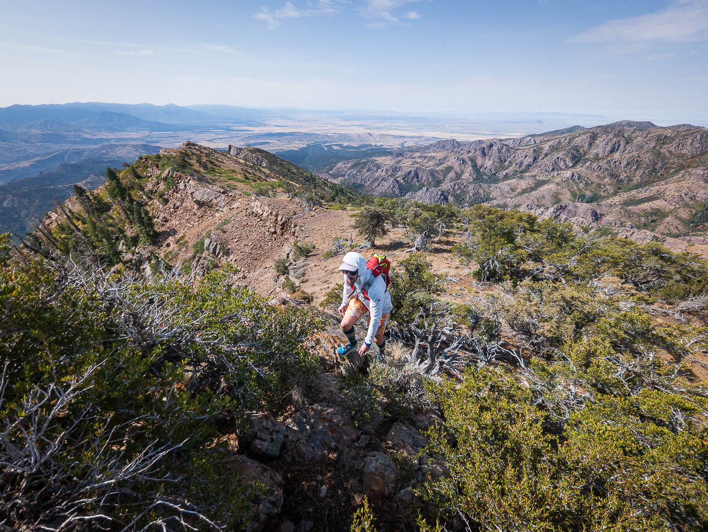
This photo sort of embodies the constant micro-route-finding we were doing. No direct seems ideal due to brush, little cliffs, etc.
Often we'd head to the crest since it felt better than side-hilling on brushier terrain on the left, but the crest was rarely any better/worse.
Along the crest.
View back toward Eightmile Canyon.
Another example of what the crest often looked like.
Another shot back, Eightmile Canyon on the right.
Higher up, the crest introduced lumps that dropped in and out of notches formed by the slanted rock.
Descending into one of many noted notches.
View back at how these notches appear.
Ascending out of another notch.
View back at the sloped terrain along the south ridge of Williams Peak.
A really cool slab that added some Class 2 fun.
View back down the slab, Eightmile Canyon seen below, which houses the Eightmile Creek Trail we'd take later.
Easier terrain as we near the summit of Williams Peak.
Williams Peak ahead.
View back as we near Williams Peak.
Williams Peak summit, view north toward the heart of the Canyon Mountains.
Williams Peak, view south.
We started west down from Williams Peak. Our goal is the knoll seen center.
Overall a straightforward descent.
View back up the steep slope from Williams Peak.
Ascending the small knoll, view back toward Williams Peak.
Descending from the small knoll into Eightmile Canyon.
We picked up the Eightmile Creek Trail.
The singletrack turned into doubletrack, which we continued along back to our cars.
Hire me or show me some love!
Hire/refer me as a web developer or send me a few bucks if you find my site useful. I’m not sponsored, so all fees are out-of-pocket and my time preparing trip reports is unpaid. I really appreciate it!