Fall Creek Falls, Cane Creek Falls, and Cable Trail

Fall Creek Falls State Park, TN Southern Cumberland Plateau + Northern Alabama

Trip stats

Distance
4.2 mi
Net Gain
1,100 ft
Time
2-4 hrs
YDS Rating
Class 2
Route
Out/Back

Ratings out of 10

Effort
1.8/10
Personality
6/10
Beauty
7/10
Solitude
0.8/10
What do these mean? →

Route map + Trailhead

Trailhead Coordinates

35.662086, -85.349661

The directions link below drops a pin on the trailhead coordinates and lets Google Maps pick the route. If the drive has rough roads or access issues that GPS nav might get wrong, I cover that in my trip report.

Trip report

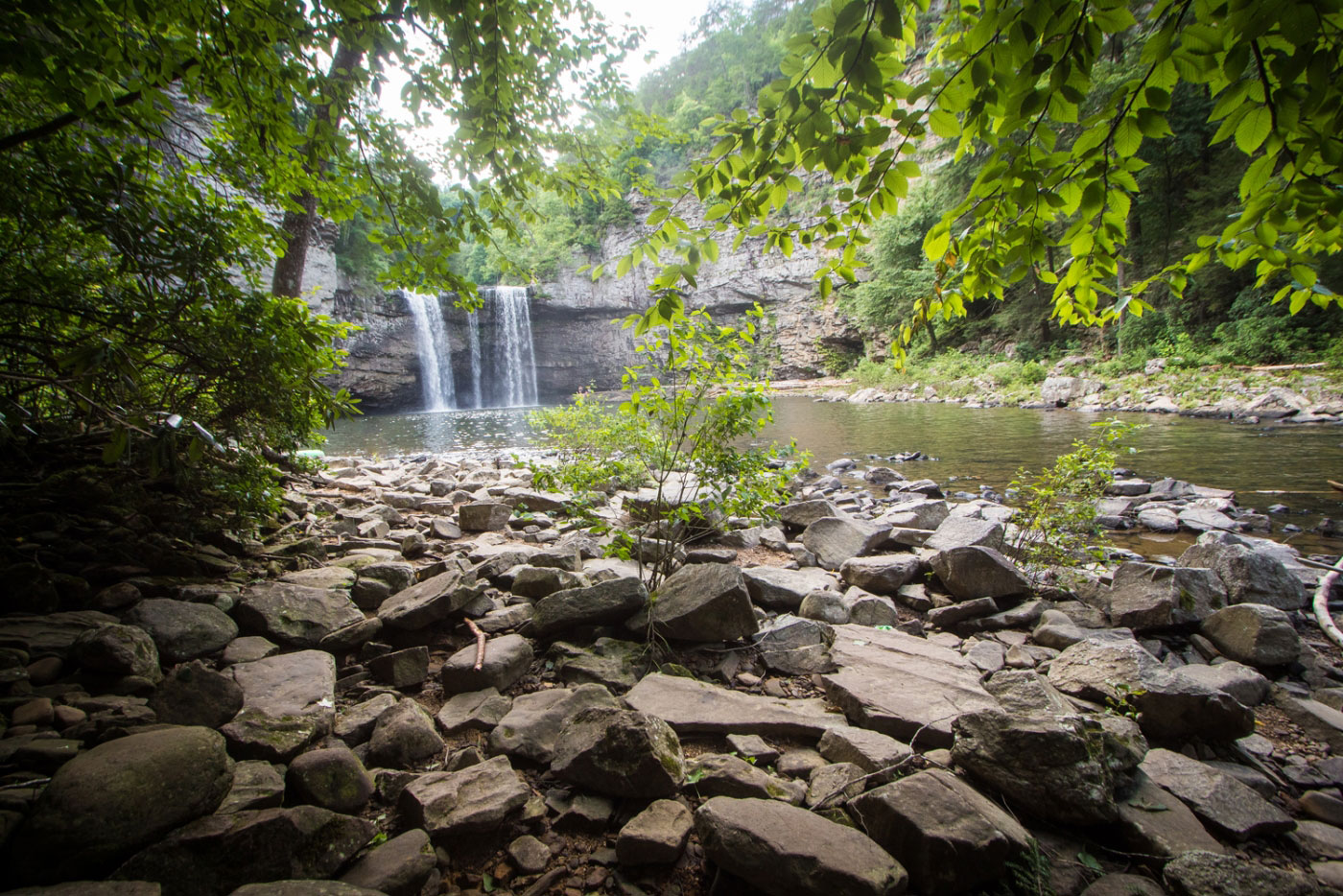
Jul 8, 2018 — Fall Creek Falls State Park is popular for good reason. The waterfalls my brother and I got to see were more incredible than we thought they would be, and are definitely worth the trip to the middle of nowhere Tennessee. From the visitor center, we checked out Cane Creek Falls from above, hiking a bit off trail along the creekbed to get a view from the top. From here, head across the suspension bridge and along well-marked Woodland Trail to the overlook of Fall Creek Falls, also accessible via car. From the overlook, a wooden boardwalk/stairs trail leads down to the base of the falls. After getting back up to the overlook, follow the Gorge Overlook Trail back, passing Rocky Point Overlook, which involves a short scramble.

From the parking lot, we also decided to head along the short Paw Paw Trail, leading to the steep Cable Trail down to access the base of Cane Creek Falls. The Cable Trail is short and sweet, and has a cable to assist an otherwise very short Class 3 move.

Hire me or show some love!

Hire or refer me as a web developer, or send me a few bucks if you find my site useful. I'm not sponsored, so it's funded by yours truly. It also takes a ton of work to edit photos and write these reports. I really appreciate it!

Photos

36 photos

  1. Starting toward Cane Creek Falls.
  2. Approaching the suspension bridge (left). It goes over the Cane Creek Cascades.
  3. Cane Creek Cascades, just above the Falls.
  4. Headed downstream toward Cane Creek Falls.
  5. Cane Creek Falls to the right of my brother, Rockhouse Falls on the right in the background.
  6. Close-up of Rockhouse Falls.
  7. Cane Creek Falls, a rainbow completing the beauty.
  8. Back to the suspension bridge.
  9. Cane Creek Cascades below the suspension bridge.
  10. Woodland Trail from Cane Creek Falls to Fall Creek Falls.
  11. Junction with the Gorge Overlook Trail.
  12. Fall Creek Falls overlook.
  13. Heading down to the base of Fall Creek Falls.
  14. Cliffs leading up to the falls.
  15. Fall Creek Falls.
  16. Back on higher ground, headed along the Gorge Overlooking Trail.
  17. A short scramble to access Rocky Point Overlook.
  18. Rocky Point Overlook.
  19. Continuing along the Gorge Overlook Trail.
  20. After arriving back at the parking lot, we headed to the Cable Trail, accessed by either following the road, or taking the short Paw Paw Trail.
  21. Cable Trail start.
  22. The top of the cable section.
  23. Looking up the Cable Trail, just past the scramble section.
  24. Base of Cane Creek Falls.
  25. Cane Creek Falls (right) and Rockhouse Falls (left).

Photo 1 of 1

Hire me or show some love!

Hire or refer me as a web developer, or send me a few bucks if you find my site useful. I'm not sponsored, so it's funded by yours truly. It also takes a ton of work to edit photos and write these reports. I really appreciate it!