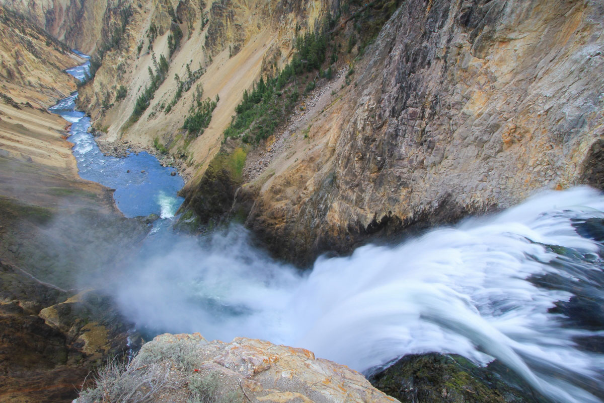
Brink of the Lower Falls of the Yellowstone

Yellowstone National Park, WY Yellowstone + Tetons + Gros Ventre

Trip stats

Distance
0.8 mi
Net Gain
500 ft
Time
<1 hrs
YDS Rating
Class 1
Route
Out/Back

Ratings out of 10

Effort
0.6/10
Personality
3/10
Beauty
6/10
Solitude
0.7/10
What do these mean? →

Route map + Trailhead

I haven't added a map for this hike yet, but I hope to soon!

Trailhead Coordinates

44.715302, -110.496039

The directions link below drops a pin on the trailhead coordinates and lets Google Maps pick the route. If the drive has rough roads or access issues that GPS nav might get wrong, I cover that in my trip report.

Trip report

Outdated information

This report is from before I put more time into writing and taking route photos, so it may not be very helpful. I'm keeping it up for the memories, and will one day hopefully return to better document. Find other reports in this region.

Sep 29, 2012 — This trail is on the opposite side of Uncle Tom's Trail and follows a paved trail down to a ridiculously beautiful lookout over the Grand Canyon of the Yellowstone, called the Brink of the Lower Falls. It's a really crowded and straighforward trail, but worth it to stand on top of the falls and look down into this epic canyon in Yellowstone National Park. This was the first time ever for me seeing something of this magnitude.

Hire me or show some love!

Hire or refer me as a web developer, or send me a few bucks if you find my site useful. I'm not sponsored, so it's funded by yours truly. It also takes a ton of work to edit photos and write these reports. I really appreciate it!

Photos

5 photos

Photo 1 of 1

Hire me or show some love!

Hire or refer me as a web developer, or send me a few bucks if you find my site useful. I'm not sponsored, so it's funded by yours truly. It also takes a ton of work to edit photos and write these reports. I really appreciate it!