Boy Scout Peak and Sitton Peak in Cleveland National Forest, CA

Hike Boy Scout Peak and Sitton Peak Cleveland National Forest, CA

Class 1 10.1 miles 2400 gain 4-6 hrs Out + Back
Effort
Beauty
Personality
Solitude

Boy Scout Peak and Sitton Peak GPX Track

I need to offset my substantial website costs somehow! You can download a hike/drive GPX to assist you here. Before sharing my GPX tracks with others, please remember my site is otherwise a free resource.

Oct 3, 2025 — Sitton Peak is a modest summit tucked into Southern California’s Santa Ana Mountains. The scrubby hills composing the San Mateo Canyon Wilderness of the Cleveland National Forest would be unbearable to hike on without the extensive trail system. Unfortunately much of the area has been burned by one fire or another, including the high point Santiago Peak, but my hike today was green and showed no signs of the wildfires that ravaged the area.

I parked at the Bear Canyon Trailhead and hiked along the very tame Bear Canyon Trail, and I was pretty psyched about this mild stroll since I was quite hungover after a fun night in San Diego. The landscape is mostly typical scrub, but there were a few grottos housing shady oaks.

After roughly two miles there’s a junction with the Morgan Trail, which leads north toward San Mateo Peak. I stayed straight along the Bear Canyon Trail, and at around mile 3 I reached a somewhat confusing junction known as Four Corners, a convergence of a few fire roads. From Four Corners I turned onto the Sitton Peak Trail / Truck Trail.

The abandoned doubletrack ascended to the shoulder of Boy Scout Peak, which does not have an official trail to its summit. However, with over 300 feet of prominence it was a true peak, so I couldn’t willfully bypass it. On my ascent I started away from the official trail at the southern saddle, but on my way back I found a much better social trail that required less brush to push through located about a hundred feet east of the saddle. Either way, there’s enough of a route to reach a false summit, and then there were various options to traverse the flattish summit area to the high point.

Back on the Sitton Peak Trail, I descended a few hundred feet to the base of Sitton Peak. A sign marked the spot to leave the old roadbed and take a steep, eroded side-trail to gain the summit. This section was notably different in character from the rest of the hike due to its abrupt change in steepness. At the summit, Sitton Peak’s summit rocks offer a lovely panorama of the ridges of the San Mateo Canyon Wilderness, the Santa Ana Mountains, and on a clear day, the Pacific Ocean.

PEAKS ON HIKE
Elevation (ft) / Prominence (ft)
Peaks on hike
Elevation
Prominence
1
Boy Scout Peak
3237 ft
396 rise
2
Sitton Peak
3274 ft
791 rise

Hire me or show me some love!

Hire/refer me as a web developer or send me a few bucks if you find my site useful. I'm not sponsored, so all fees are out-of-pocket and my time preparing trip reports is unpaid. I really appreciate it!

Bear Canyon Trailhead.
Sitton Peak somewhere up there on the top right.
Entering the San Mateo Canyon Wilderness.
Junction, keep right.
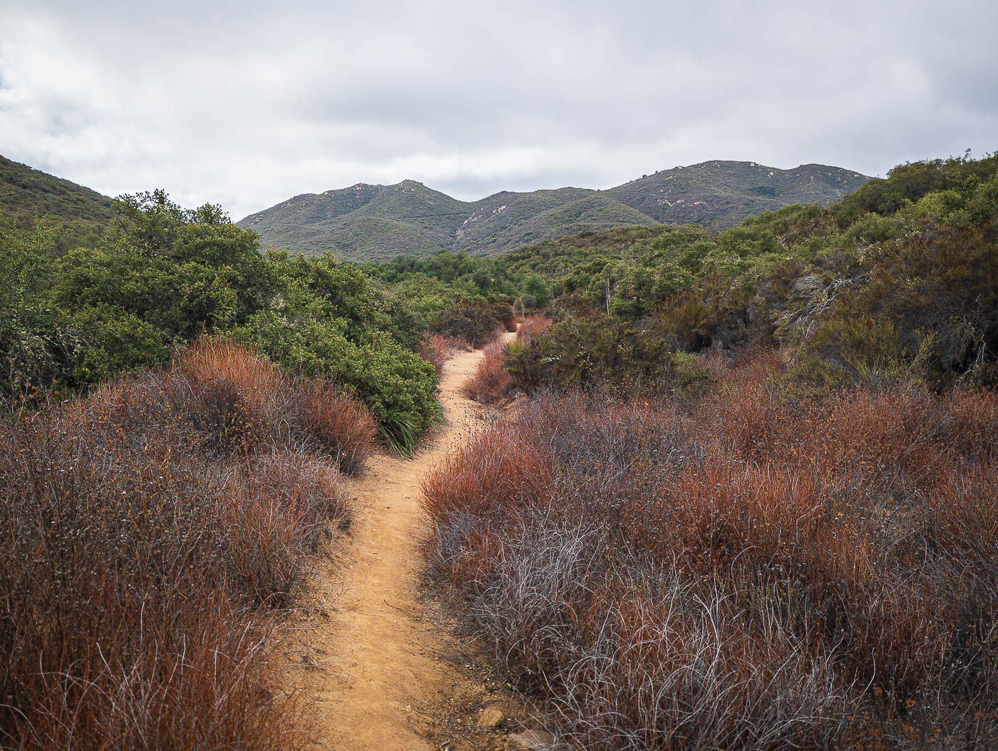
Along the Bear Canyon Trail through the scrubby landscape.
Boy Scout Peak seen ahead.
Along the Sitton Peak Trail, ascending toward Boy Scout Peak.
View back along the Sitton Peak Trail.
A quick side-trip up to Boy Scout Peak.
A bit brushy traversing from the false summit to the high point, but nothing too bad along the flattish top.
Boy Scout Peak summit, view toward Sitton Peak.
Boy Scout Peak summit, view north.
Back along the Sitton Peak Trail, the summit seen top left. The trail drops a bit to its base.
A narrow trail leads up to Sitton Peak, much more steeply than the rest of the hike had been.
Steep and eroded trail up to Sitton Peak.
Nearing the summit of Sitton Peak, view toward Boy Scout Peak (center). The Sitton Peak Trail is seen coming down from the right.
Sitton Peak summit ahead.
Sitton Peak summit, view west.
Sitton Peak summit, close-up into San Juan Canyon and the Ortega Highway.

Hire me or show me some love!

Hire/refer me as a web developer or send me a few bucks if you find my site useful. I’m not sponsored, so all fees are out-of-pocket and my time preparing trip reports is unpaid. I really appreciate it!